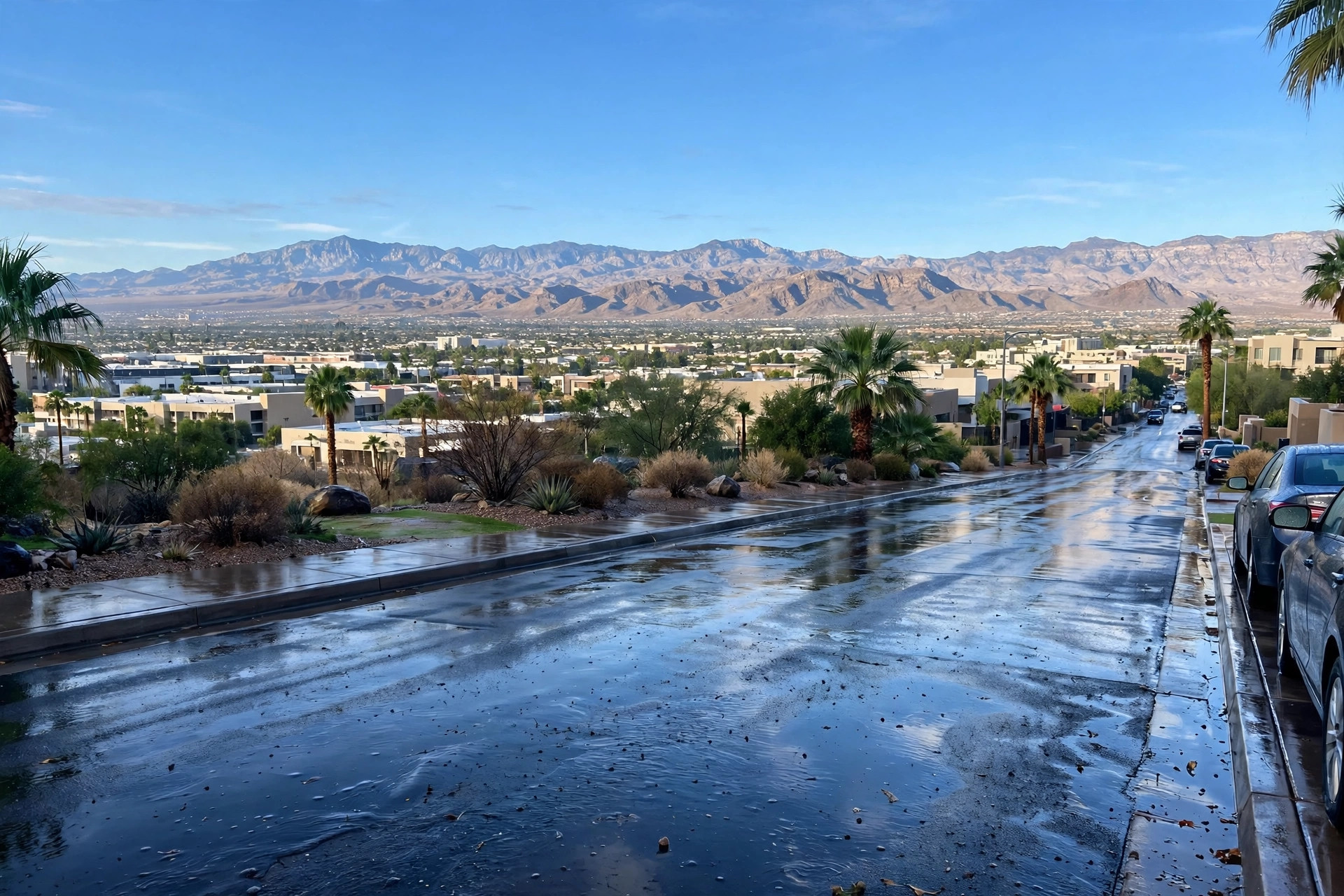
Las Vegas Storm Recap: Severe Thunderstorm Warnings, 60 MPH Gusts and Hail on Sunday — Then a Dry Week
The wet weekend saved one last punch for Sunday afternoon. The National Weather Service issued severe thunderstorm warnings across central Clark County, outflow winds topped 60 mph in the Spring Mountains and near 50 mph in North Las Vegas, and Harry Reid International picked up about a quarter inch of rain — before drier air moved in for a calm, dry week.

Sunday afternoon brought the stormy weekend's final round. The National Weather Service issued several severe thunderstorm warnings for the Las Vegas area on Sunday, including one covering central Clark County — Las Vegas, Henderson, North Las Vegas and Harry Reid International Airport — warning of damaging wind gusts up to 60 mph, large hail and torrential downpours, FOX5 reported. Officials urged people to shelter inside sturdy buildings, stay away from windows and hold off on travel until the storms passed.
The measurements matched the warnings. The airport picked up about a quarter inch of rain, with heavier totals in other parts of the valley and in Mesquite, and outflow winds gusted above 60 mph in the Spring Mountains and near 50 mph in North Las Vegas. The storms capped a stretch that made October 2026 the second-wettest October in Las Vegas history, after Friday's flash flooding and a Halloween-night flash flood warning for North Las Vegas and the northwest valley.
Now the pattern flips. The station's live weather feed read 57.6 degrees on Sunday night, and forecasters say drier air is moving in as the subtropical moisture pulls away, with patchy fog possible Sunday night into Monday morning and drivers warned to watch for debris, standing water and dark signals after the storms. From there the feed is dry all week: Monday 70.3 degrees, Election Day Tuesday 69.2 and dry, and highs between 67.8 and 74.1 through Saturday with no rain — a cooler, calmer week that asks only for a jacket in the evenings.